The Rampart Range is a mountain range in the western United States in Colorado, located in Douglas, El Paso, and Teller counties. Part of the Front Range of the Rocky Mountains, the range is almost entirely public land within the Pike National Forest.
The Rampart Range is delineated by the South Platte River on the north and Manitou Springs and Woodland Park on the south. The western border is formed by faults along the South Platte River and Trout Creek. The eastern border of the range is the steep, faulted escarpment down to the Colorado Piedmont. In total, the range is 44 miles long and 12 miles at its widest.
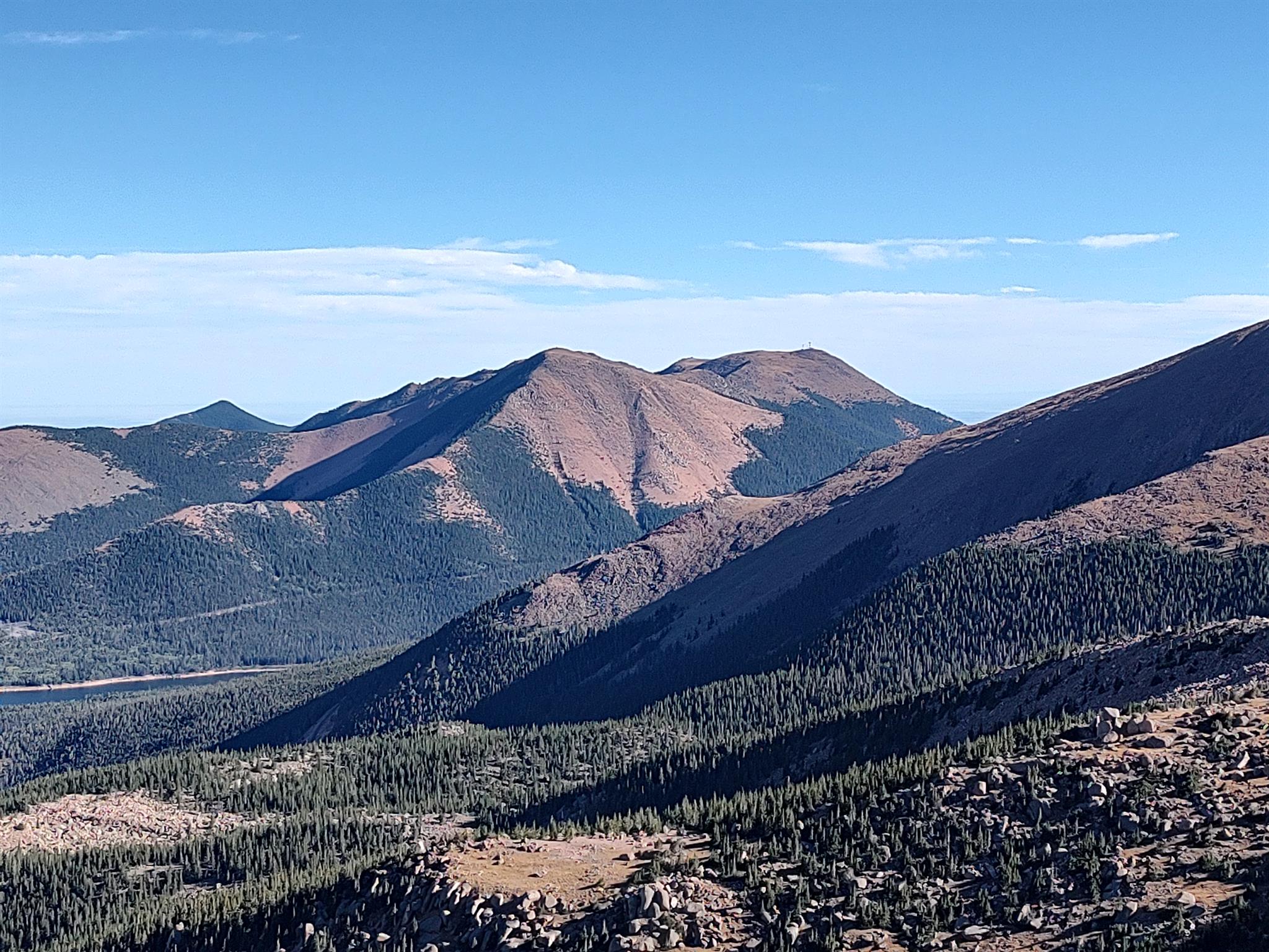
The high point of the Rampart Range is Devils Head at an elevation of 9,748 feet. From Wikipedia