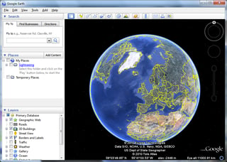
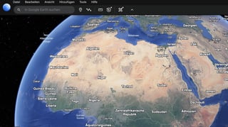
Google Earth is a web and computer program created by Google that renders a 3D representation of Earth based primarily on satellite imagery. From Wikipedia
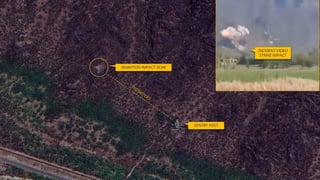
Google Earth images from June 2018 showed the decking has exceeded the four-year limit for enforcement under planning regulations.