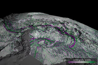
The Surface Water and Ocean Topography mission is a satellite altimeter jointly developed and operated by NASA and CNES, the French space agency, in partnership with the Canadian Space Agency and UK Space Agency. From Wikipedia
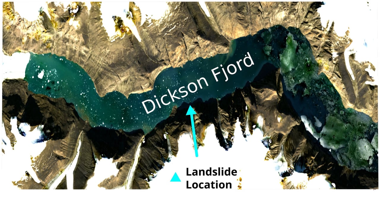
Oxford researchers leveraged high-resolution SWOT satellite data to detect standing waves in Dickson Fjord that matched seismic tremors worldwide.