Overview
- Argentina’s SMN keeps a yellow alert in Jujuy for Zonda winds of 40–60 km/h with local gusts above 80 km/h, warning of reduced visibility, sudden heat and very low humidity.
- AEMET and Euskalmet flag a midweek shift as an Atlantic trough and a polar jet reintroduce rain and thunderstorms across the Cantabrian fringe, with a marked temperature drop after brief heat.
- In Andalusia, AEMET expects Tuesday to be the warmest day near 40 °C before the cooler change spreads later in the week.
- Mexico’s SGIRPC, SMN and Conagua anticipate strong afternoon and evening storms in CDMX and Estado de México, with possible hail, 30–45 km/h gusts and 15–29 mm of rain, raising flooding and mobility risks.
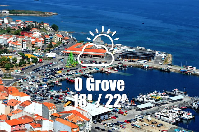
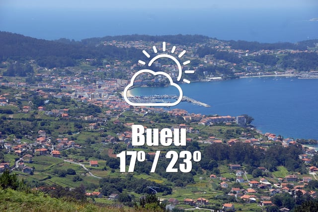
- SMN forecasts intense rainfall in Jalisco of 75–150 mm with electrical storms, hail and 1.5–2.5 m coastal waves, while Galicia reports mostly clear, dry conditions ahead of the incoming front.


