


Overview
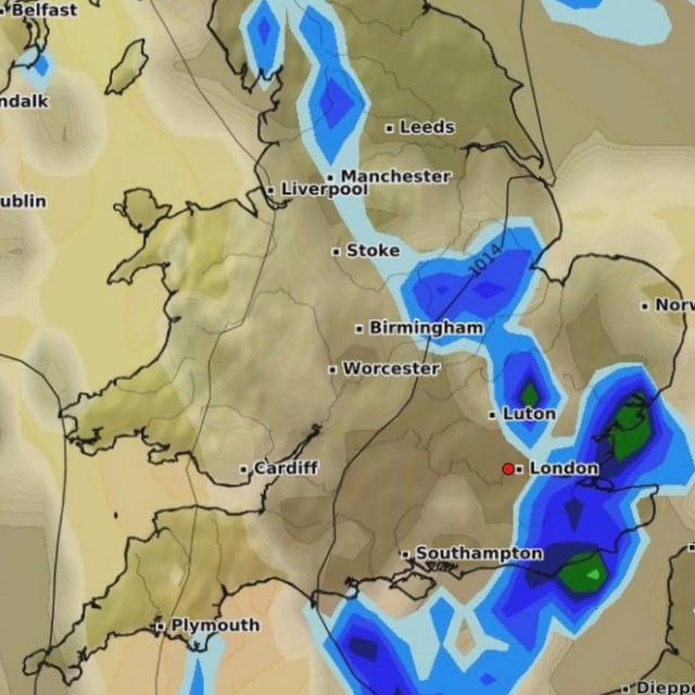
- The Met Office has issued a yellow thunderstorm warning for Brighton & Hove, East Sussex and Kent until 5pm, predicting slow-moving storms that could unleash 20–25 mm of rain in under an hour and trigger flash flooding.
- Eighteen flood alerts remain in force across England as agencies warn of surface water inundation and potential travel disruption on roads and rail lines.
- Environment Agency teams are closely monitoring river levels and advising residents in vulnerable communities to prepare for possible property flooding and short-term power outages.
- Forecasts indicate a temporary shift to drier, warmer weather from Thursday through Saturday, with temperatures rising to around 25 °C in Coventry and 26 °C in Stratford before more unsettled showers return on Sunday.
- Motorists are urged to increase following distances in heavy rain and to check road and public transport conditions, while anyone caught outside during storms should seek enclosed shelter to reduce lightning risks.