

Overview
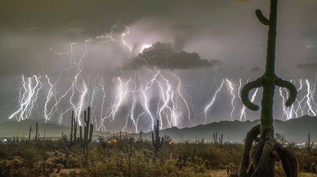
- The World Meteorological Organization officially certified on July 31, 2025, that a single lightning flash on October 22, 2017, spanned 515 ± 5 miles from eastern Texas to near Kansas City, Missouri.
- A retrospective reanalysis of archival satellite data uncovered the megaflash after it was missed in initial 2017 storm assessments.
- Detection and distance measurement were enabled by space-based sensors including NOAA’s GOES-16 Geostationary Lightning Mapper, Europe’s MTG Lightning Imager and China’s FY-4 Lightning Mapping Imager.
- The newly certified flash exceeded the previous 477.2-mile record set in April 2020 across the southern United States, using the same great-circle distance methodology.
- WMO experts warned that such extreme horizontal discharges present unique hazards for high-altitude aviation operations and could ignite wildfires far from storm cores.