


Overview
- The World Meteorological Organization has added the 515-mile flash from eastern Texas to near Kansas City on October 22, 2017 to its Archive of Weather and Climate Extremes, overtaking the previous 477.2-mile record.
- A mid-2025 reanalysis of archived GOES and other satellite data uncovered the overlooked 2017 megaflash, demonstrating the power of retrospective examination of high-resolution lightning records.
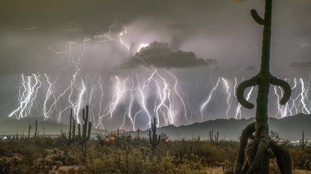
- Geostationary Lightning Mappers on NOAA’s GOES satellites, along with instruments on European Meteosat and China’s FY-4 platforms, now enable continuous continental-scale monitoring of extreme lightning events.
- Scientists identify large Mesoscale Convective Systems over the Great Plains and South America’s La Plata basin as global hotspots for generating rare megaflashes.
- Lightning safety experts emphasize that only substantial buildings with wiring and plumbing or fully enclosed metal-topped vehicles offer reliable protection from bolts that can travel hundreds of miles from their parent storm.