
Overview
- The NWS Fairbanks advisory runs from 2 p.m. Thursday to 10 p.m. Friday AKDT, with the most significant impacts expected Thursday evening into Friday morning.
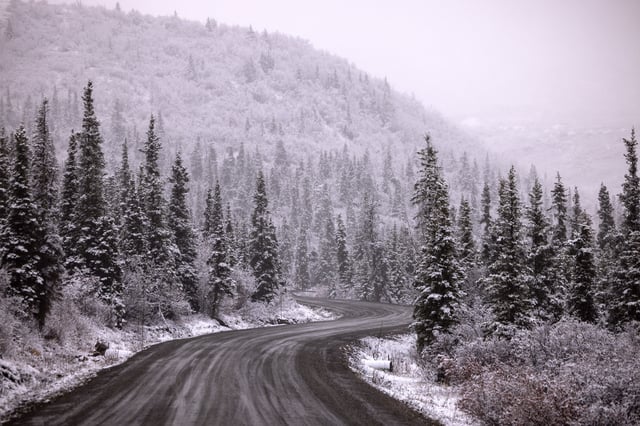
- Affected zones include the White Mountains, high terrain south of the Yukon River, the Chatanika River Valley, and stretches of the Steese and Elliott highways.
- Forecast totals are roughly 4 to 9 inches with the highest amounts at elevation, while lower spots could see mixed precipitation that increases black ice risk.
- Officials warn of slippery roads and reduced visibility that could affect commutes, urging drivers to slow down, check 511 for road conditions, and watch for icy sidewalks and steps.
- Other NWS alerts include 3 to 5 inches for the Upper Chena River Valley near Chena Hot Springs and frost or freeze notices in parts of the Northeast and Colorado.