Overview
- Rain spreads east overnight and tapers Wednesday from west to east, with most areas seeing 0.25–1 inch and localized 1–2 inches, including downpours that could slow the morning commute.
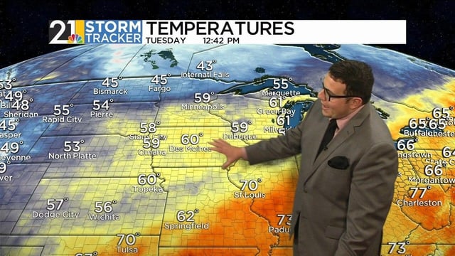
- Behind the front, highs fall into the 50s and 60s with clear, dry air under high pressure Thursday and Friday, and frost likely in colder inland valleys Thursday night into Friday morning.
- Forecasters are monitoring a potential coastal low near the Southeast this weekend whose track remains uncertain, with any impacts dependent on its path and elevated astronomical tides raising minor coastal flooding risk in parts of New England.
- Tropical Storm Jerry has formed offshore and is expected to strengthen over open water, with no immediate threat to the United States.
- In the Pacific Northwest, a cut‑off low arrives late week and lingers into the weekend, bringing cooler conditions, periods of rain, and likely mountain snow.


