Overview
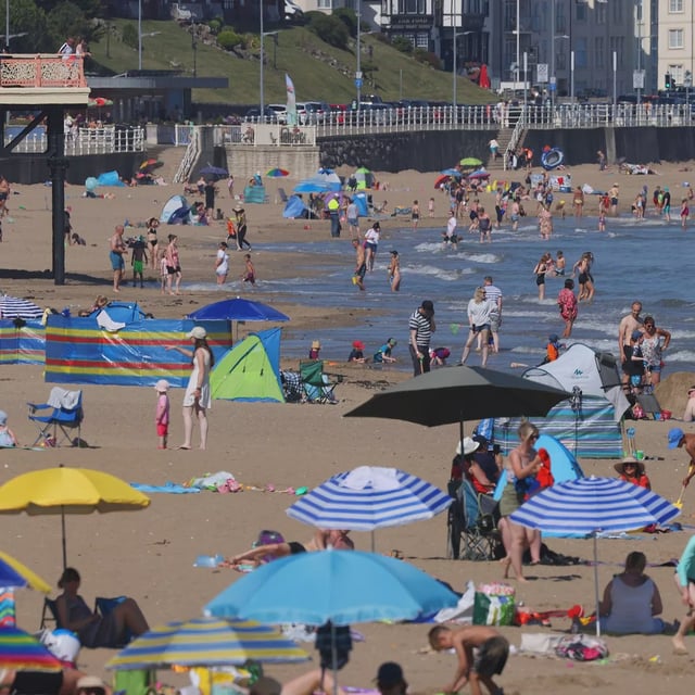
- Provisional Met Office data put the summer mean at about 16.13°C, making 2025 almost certainly the UK’s warmest on record pending final confirmation.
- Heavy, persistent rain linked in part to the remnants of ex-Hurricane Erin drenched southern counties, with 63mm at Heligan Gardens and rescues reported in Torpoint, Cornwall, plus a landslide blocking the A379 in Devon.
- Forecasters expect widespread showers, longer spells of rain and a risk of hail and thunder through the weekend and into next week, with 10–20mm of rain widely and up to 30–40mm on western high ground.
- Wind will be a feature, with gusts commonly 25–35mph and peaks of 50–60mph in exposed parts of western Scotland, as further frontal systems move across the country.
- The Environment Agency issued flood alerts including for the rivers Shuttle and Cray in Bexley, and while private charts suggest a brief 28–30°C ‘Indian summer’ around 8–9 September, the Met Office stresses there is no signal for a return to high pressure or another heatwave.


