Overview
- The Met Office says there is no signal for a return to high pressure, another heatwave, or a prolonged dry spell in the near term.
- A persistent ‘flabby’ low to the northwest is drawing in Atlantic fronts, bringing organised rain, showers and gusty winds into the start of September.
- Yellow rain warnings were issued for late August in parts of Wales and southern England, with heavy downpours, thunder and hail possible.
- Western areas are likely to see a wetter-than-average start to autumn, while the long‑range outlook points to changeable conditions and near‑average temperatures rather than late‑season heat.
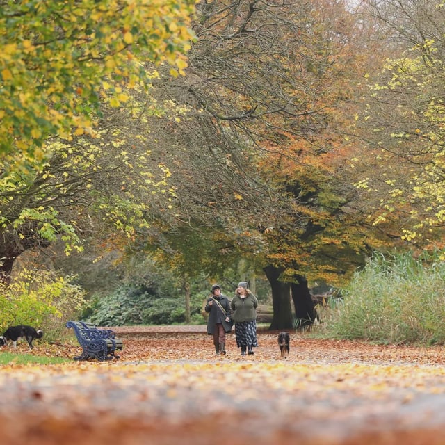
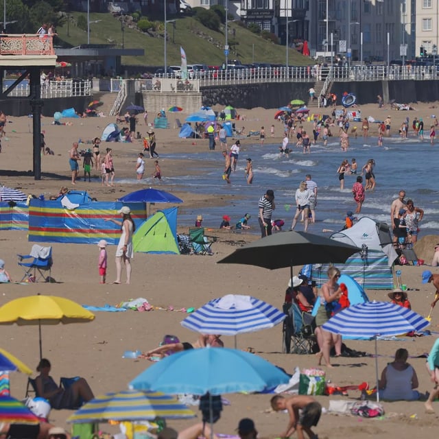
- Summer 2025 is almost certainly the UK’s warmest on record at about 16.13°C after four heatwaves, and the Met Office reports a ‘false autumn’ as trees shed leaves early due to heat and drought stress.


