

Overview
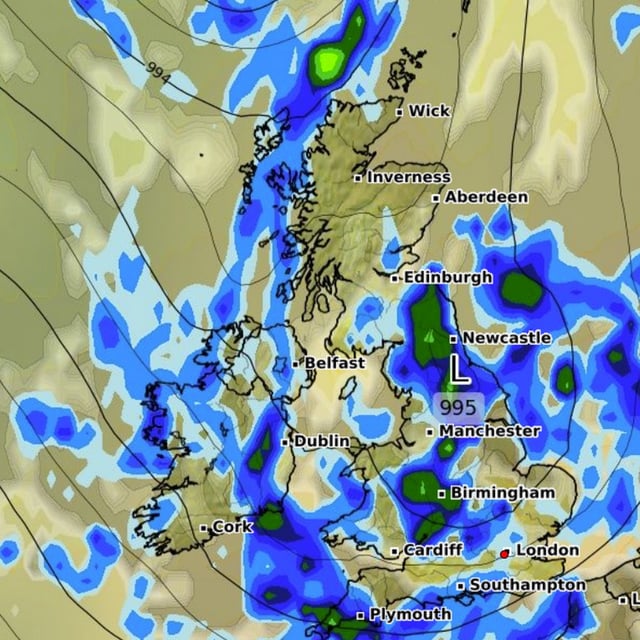
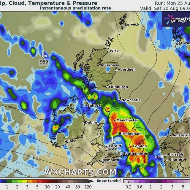
- A westerly pattern influenced by the remnants of Hurricane Erin is ushering in showers, longer spells of rain and strong winds into early September.
- Forecasters point to two main systems around Saturday 30 August and Wednesday 3 September, though their exact track and intensity remain uncertain.
- The Met Office expects 10–20mm of rain across many areas with higher totals over western hills and coastal gusts that could exceed 50mph this weekend.
- Thunderstorms and hail are possible, with western regions most exposed initially and the potential for weather warnings being monitored.
- Temperatures are returning to near average — low 20s in the south and high teens in the north — with only a low‑confidence signal for a brief southern warm spell next week.