Overview
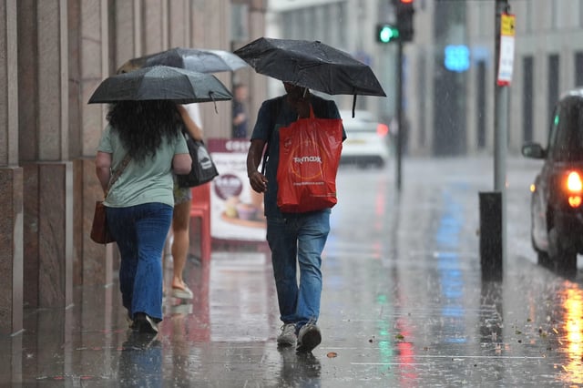
- The Met Office says a deep area of low pressure will move close to the UK on Saturday, bringing widespread rain and gusts likely exceeding 50mph on coasts and high ground, with 10–20mm of rain for many and higher totals on western hills.
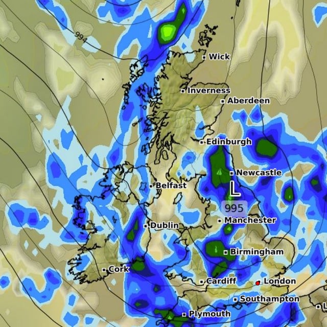
- Official maps show a broad band of rain sweeping north and east across much of the country from Saturday afternoon into early Sunday, following showers and spells of rain on Thursday and Friday.
- The extended outlook for August 31 to September 9 points to a changeable, unsettled pattern dominated by low pressure, with showers or longer spells of rain for most areas and a risk of thunderstorms and hail.
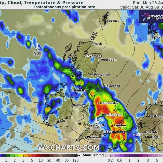
- Model guidance from GFS/WXCharts indicates two large rain events: the first around August 30 and a second system tracking across Ireland and into the UK around September 3, though exact tracks and intensities remain uncertain.
- Despite the late-August washout, the Met Office says summer 2025 will almost certainly be the UK’s warmest on record, with a provisional seasonal mean of 16.13C to August 25.