
Overview
- The Bureau of Meteorology on Thursday released its long-range outlook, favoring above-average spring rainfall for much of eastern and central Australia with the strongest signal in September and October.
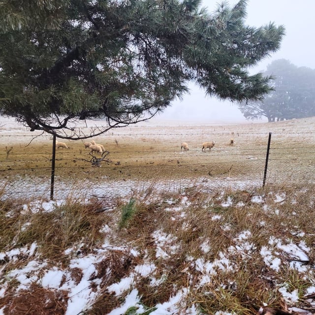
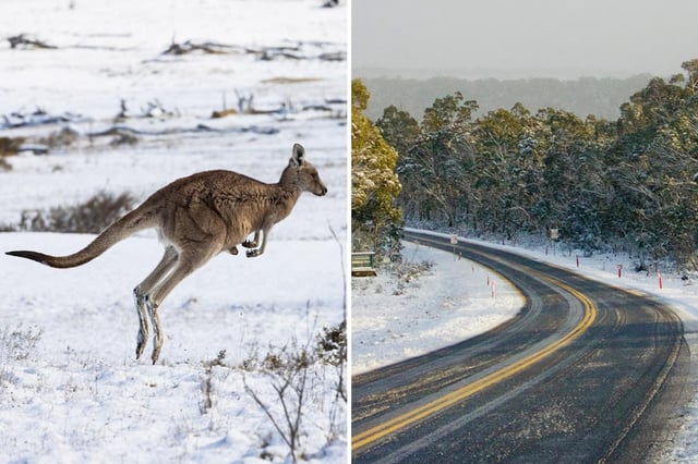
- A series of strong cold fronts through the weekend is bringing the heaviest snowfalls of winter, with snow levels forecast down to about 300m in Tasmania, 600m in Victoria and 700m in New South Wales.
- Damaging winds have prompted severe weather warnings for parts of South Australia, Victoria and NSW, with alpine gusts already clocked above 120 km/h and further blizzard conditions expected in high country.
- Australia is experiencing a sharp temperature split, with alpine maxima near or below 0°C while parts of the Northern Territory and northern WA may reach about 40°C.
- AFAC’s spring bushfire outlook flags elevated risk in parts of WA, South Australia and Victoria due to increased fuel loads and drying later in the season, and authorities are urging preparedness even where rainfall is expected to be above average.