
Overview
- Heavy rain, blustery winds and some thunderstorms are sweeping the UK, with parts of Cornwall, Devon and Dorset seeing over half a month’s rain in 11 hours and isolated flood incidents reported.
- The Met Office’s early-September outlook keeps low pressure in charge, bringing frequent showers or longer spells of rain, occasional hail and coastal gales, and no signal for a sustained return to high pressure or another heatwave.
- Model maps from private providers show a possible brief warm spell around 8–9 September with 28–30°C in parts of eastern England, but officials and BBC forecasts stress changeable conditions and uncertainty.
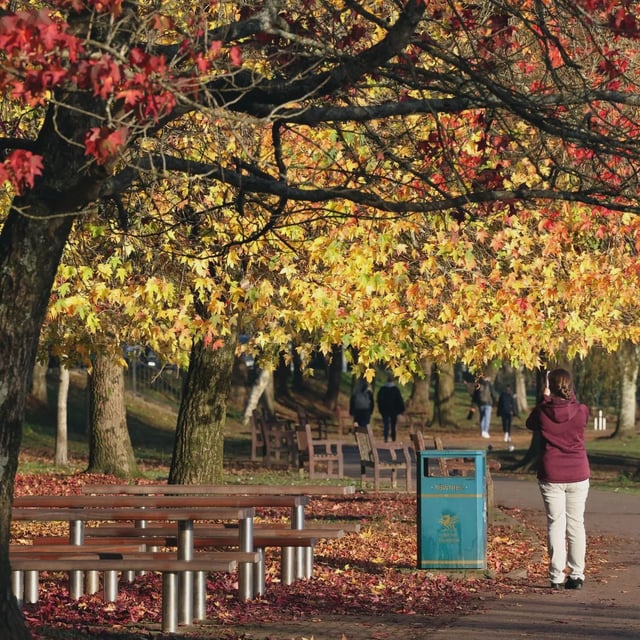
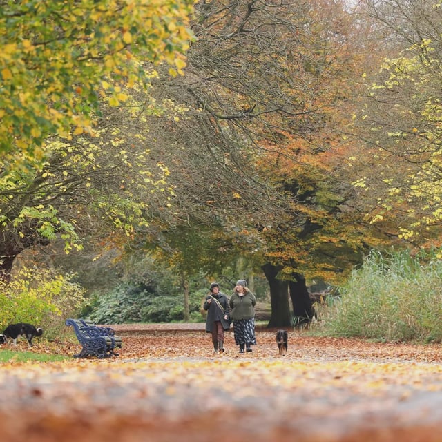
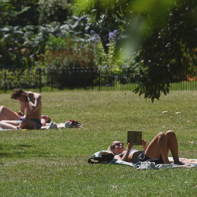
- Forecasters say the season is almost certainly the hottest on record, following four heatwaves, and note a ‘false autumn’ with early leaf drop caused by drought and heat stress.
- Despite recent downpours, water stress persists: North Wales has entered drought status, hosepipe bans remain for several companies, and the National Drought Group classifies England’s situation as a nationally significant incident.