

Overview
- Saturday brought a brief respite from multi-day highs in the mid-90s as lake breezes and high pressure kept Chicago’s lakefront in the mid-70s and Baltimore near 79°F
- High humidity and sunshine will drive Sunday temperatures back into the mid-90s with heat indices topping 100°F across the region
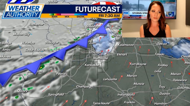
- Scattered and potentially slow-moving thunderstorms are expected Sunday afternoon and evening, raising the threat of downpours, gusty winds and localized flash flooding
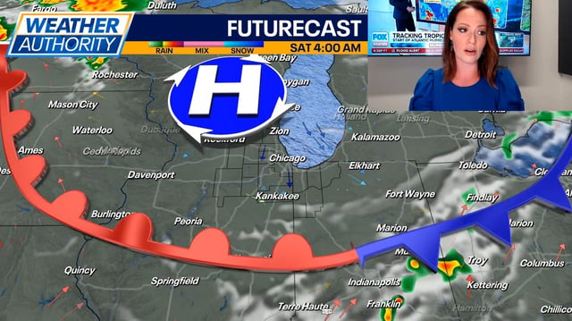
- Early next week, a cold front will shift winds eastward and usher in below-average temperatures along with significantly lower humidity
- Dry, comfortable air behind the front should bring sunny skies, highs in the upper 80s and clear evenings for Maryland’s July 4th activities