


Overview
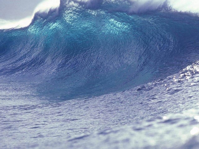
- Tsunami warnings across Pacific coasts were lifted after local measurements showed wave heights of just over 3 meters in the Kurils and under 1.5 meters in Crescent City, California.
- Finite fault models reveal up to 10 meters of slip along an 18° fault plane, but most vertical uplift occurred deeper than 20 kilometers and was absorbed by overlying rock.
- Shallow coastal topography and coastline shape further dampened wave energy as it propagated across the ocean.
- Early warning systems, including DART sensors and tsunami centers, enabled prompt evacuations and contributed to the absence of reported casualties or major damage.
- Seismic monitoring continues to record aftershocks up to magnitude 6, though none have caused additional harm.