Overview
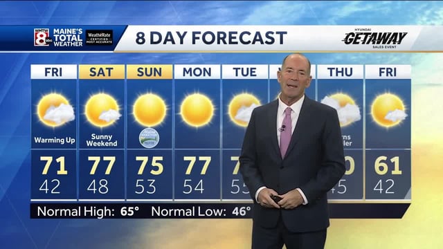
- High pressure delivers a brief 'false fall' with widespread 70s and 80s from the Northeast to the Plains, with New York City forecast to touch the low 80s and lingering drought prompting a burn ban in parts of New York.
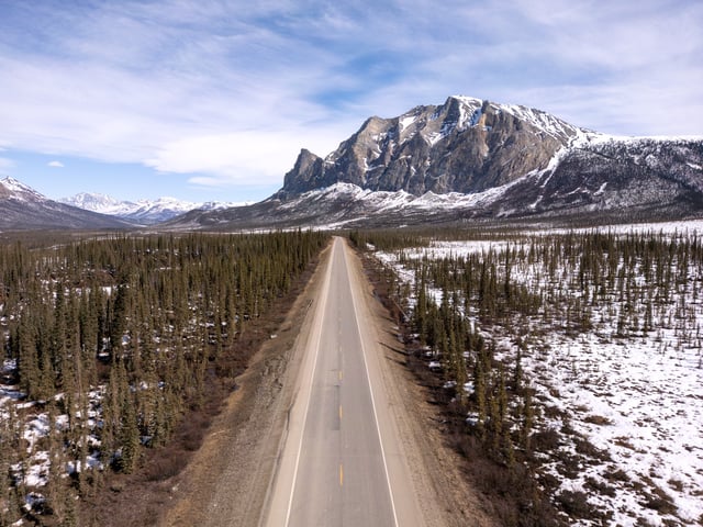
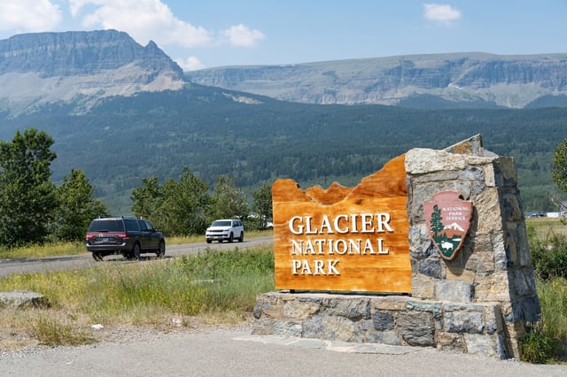
- Winter Storm Watches and Warnings target Montana’s high country, including Glacier National Park and the Beartooth–Absaroka–Bighorn ranges, where over 6 inches is likely at higher elevations and travel over mountain passes may be hazardous.
- The Beartooth Highway closed at noon Friday due to the incoming winter weather, with officials set to reassess reopening next week as conditions allow.
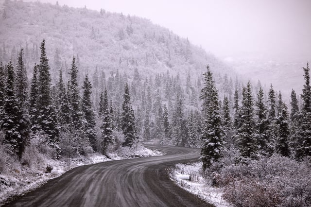
- Central Alaska faces 3–6 inches of snow under NWS advisories for the Chena Hot Springs area, the Steese Highway and the White Mountains, with alerts highlighting slippery roads and commute impacts.
- Freeze and frost alerts hit parts of the Northeast with crop and plumbing risks, and forecasters expect a cold front early next week to bring rain, cooler temperatures and a potential hard freeze in portions of Montana Monday and Tuesday mornings.