Overview
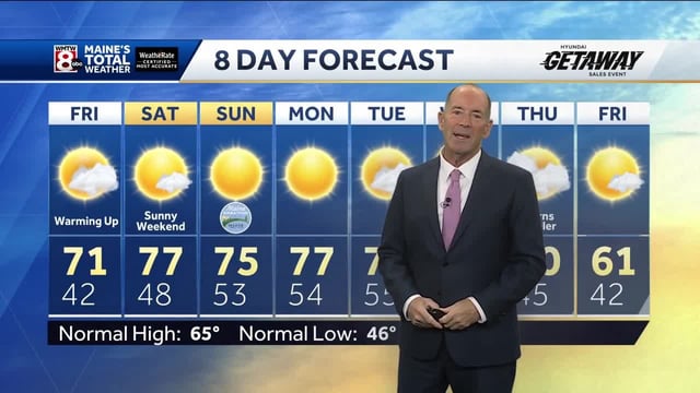
- High pressure is delivering widespread 70s to 80s with dry skies through the weekend, creating ideal conditions for outdoor events from the Northeast to the Plains.
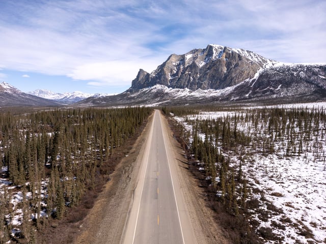
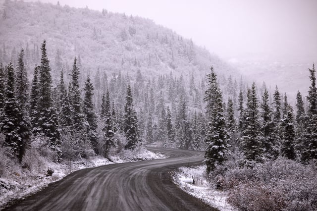
- The National Weather Service posted winter weather advisories in central Alaska with 3–6 inches of snow possible and warned of earlier freeze and frost in parts of the Northeast.
- Persistent dryness is worsening drought in the Northeast, prompting New York’s temporary burn ban and conservation appeals from New York and New Jersey officials, with fall foliage duller and shorter-lived in some areas.
- Rain chances increase unevenly from late weekend into next week, including the potential for heavy downpours and localized coastal or street flooding in the Southeast.
- A cold front expected Tuesday into Wednesday will bring more widespread showers and a noticeable cooldown, with some high elevations in the Intermountain West seeing minor snow as temperatures trend back toward fall norms.