
Overview
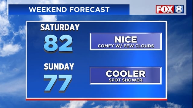
- Saturday stays warm and mostly dry with highs in the low to mid 80s as clouds increase ahead of the front.
- A very broken line of showers or thundershowers could develop Saturday evening into the night, with a few showers lingering Sunday morning mainly east of I-77.
- Temperatures settle into the 70s Sunday as cooler, less humid air begins to take hold across the area.
- By Monday, highs drop to the upper 60s to near 70 with brisk west winds around 20 mph and the potential for lake-enhanced showers.
- Marine conditions on Lake Erie are expected to deteriorate early next week with small craft and beach hazards likely, and nights could dip into the 40s Tuesday and Wednesday.