


Overview
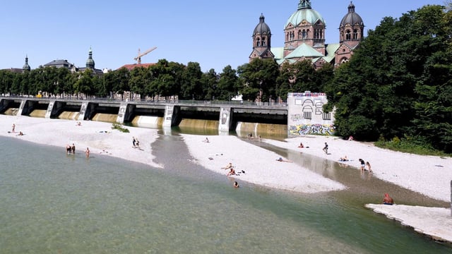
- Tuesday delivers the last broadly summery day, with highs widely in the mid‑20s and up to about 30–32 °C along the Rhine and in parts of Bavaria, while the north stays closer to 19–26 °C.
- From Wednesday, showers and thunderstorms spread in from the southwest, with Baden‑Württemberg and Bavaria most exposed and the DWD flagging multi‑hour heavy rain overnight into Thursday in the South Black Forest and Allgäu.
- Model guidance reported by outlets shows the potential for localized extreme totals near 100–200 l/m² in southern pockets, raising flash‑flood and disruption risks, though exact amounts and tracks remain uncertain.
- Northern regions cool sooner as cloud and a freshening breeze arrive from Wednesday, with Hamburg and Schleswig‑Holstein near 19–23 °C and generally fewer showers than the south.
- Cooler polar air moves in toward the weekend, dropping temperatures to roughly 17–23 °C with windier, unsettled conditions; the south stays wetter longer on Thursday before a gradual easing from Friday, and officials urge monitoring DWD warnings.