Overview
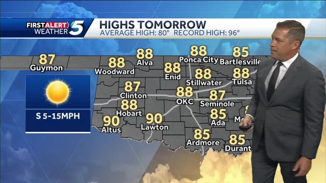
- An upper-level ridge brings widespread sunshine and above-normal highs in the upper 70s to low 80s through the weekend across large parts of the country.
- Maryland and neighboring Mid-Atlantic areas face Saturday showers with pockets of heavy rain, thunderstorms and gusty winds, followed by gradual improvement Sunday.
- Forecasters are tracking Hurricane Humberto and a developing system likely to become Imelda, with scenarios ranging from little rain to a soaking for parts of the Southeast and Mid-Atlantic early next week.
- Coastal impacts such as higher surf, beach erosion and possible coastal flooding are possible along the Mid-Atlantic under persistent easterly flow even if direct tropical effects do not materialize.
- Short-term hazards include patchy to dense morning fog in spots and regional exceptions to the quiet pattern, including rain returning to the Pacific Northwest by late weekend and a low-probability risk of stronger gusts there next week.


