
Overview
- A broad high-pressure ridge is driving unseasonably warm, mostly sunny weather into the weekend with highs widely in the 70s and 80s.
- Patchy to locally dense morning fog affected parts of several states Friday, prompting brief advisories and reduced visibility for commuters.
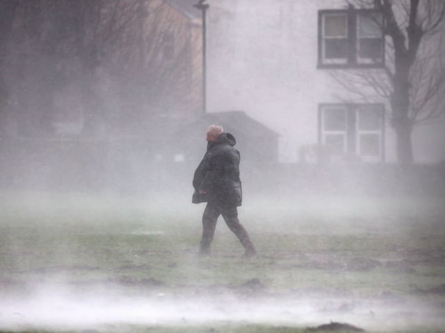
- Rain and thunderstorms increase Saturday from the Mid-Atlantic into nearby states, with pockets of heavy rain, lightning and gusty winds before a gradual improvement Sunday.
- Western coverage stays mostly quiet, though San Diego’s coast had spotty drizzle Friday while mountains and deserts saw better shower or storm chances, and Las Vegas faces scattered monsoon-style storms through the weekend.
- Model guidance points to a cooler, drier turn by mid to late next week as Canadian high pressure builds in, dropping highs into the 60s–70s and nights into the 40s–50s in many areas.