


Overview
- Parts of the Mid-Atlantic, including much of Maryland, sit under a marginal severe risk Thursday, with isolated strong storms possible as a front pushes through.
- From the Southeast into the Appalachians, forecasters highlight heavy downpours and gusts that could reach about 60 mph, with the greatest threat late Wednesday night into Thursday.
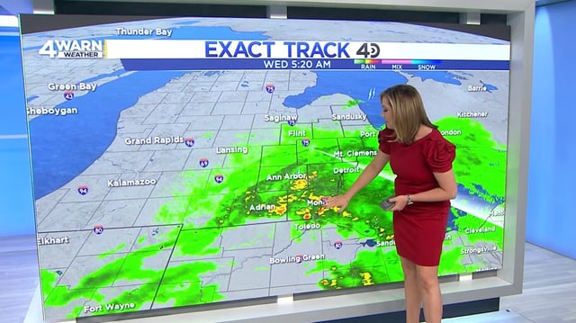
- Rainfall totals generally range from around 1 inch to over 2 inches, with isolated pockets near 4 inches in southern New England, prompting concerns for street and poor-drainage flooding.
- The midweek rain brings needed drought relief in spots such as Maine and New Hampshire, though accumulations will vary widely.
- Forecast models still differ on the exact placement and timing of the heaviest bands, but most areas turn less humid and drier by Friday into the weekend; Southern California already saw a pop-up coastal thunderstorm with more mountain and desert storm chances later this week.