
Overview
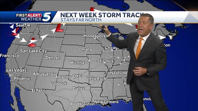
- High pressure continues to dominate large parts of the U.S., extending a sunny, unseasonably warm and mostly rain‑free pattern through early week.
- Hurricane Humberto, which peaked at Category 5 and is now a powerful major hurricane over the open Atlantic, is expected to remain well offshore while sending swells that raise surf and rip‑current risk along the East Coast.
- Tropical Depression Nine is expected to strengthen into Imelda and track near the Southeast coast early this week, with guidance favoring a brush or offshore pass rather than a U.S. landfall.
- Tropical storm warnings are posted for parts of the Bahamas and a tropical storm watch is in effect along Florida’s east coast from the Palm Beach/Martin County line to the Flagler/Volusia County line, with the greatest heavy‑rain risk focused on coastal sections of the Carolinas and nearby counties.
- Forecast confidence is improving for limited inland impacts, but small track shifts could change which coastal areas see the heaviest bands and stronger gusts before a midweek cold front ushers in fall‑like air and even patchy frost in some northern valleys later in the week.