
Overview
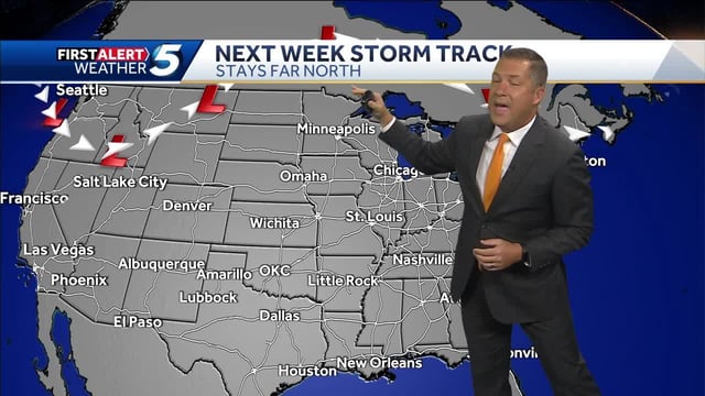
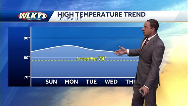
- A broad high-pressure ridge is keeping much of the country unseasonably warm and dry into early next week, with highs widely in the 70s and 80s.
- Tropical Depression Nine is expected to become Imelda and move north near the Southeast coast early next week, but its exact track remains uncertain.
- The National Hurricane Center has issued a Tropical Storm Warning for parts of the Bahamas and a Tropical Storm Watch for Florida’s east coast from the Palm Beach/Martin county line to the Flagler/Volusia county line.
- Coastal impacts could include rough surf, dangerous rip currents and squally bands from Florida to the Outer Banks even if the storm stays offshore.
- Hurricane Humberto remains a major hurricane well out to sea and could send swells toward the U.S. East Coast, while inland areas largely stay dry with only spotty midweek showers and some morning fog advisories.