
Overview
- Met Office guidance points to the warmest day on Monday with highs around 29–31°C in parts of southern and eastern England.
- WXCharts maps highlight ten counties that could exceed 30°C, including Norfolk, Suffolk, Essex, Kent, Greater London and Surrey.
- From Tuesday, forecasters expect a turn to more changeable conditions as Erin’s remnants introduce bands of rain and breezier weather.
- Met Office meteorologists warn of a large Atlantic swell with waves potentially reaching four to five metres around western coasts of Scotland and Ireland.
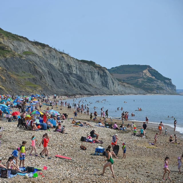
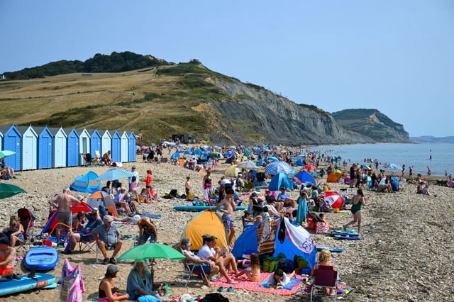
- The RNLI urges beachgoers to choose lifeguarded beaches and beware of rip currents as surf builds late in the weekend and early next week.