Overview
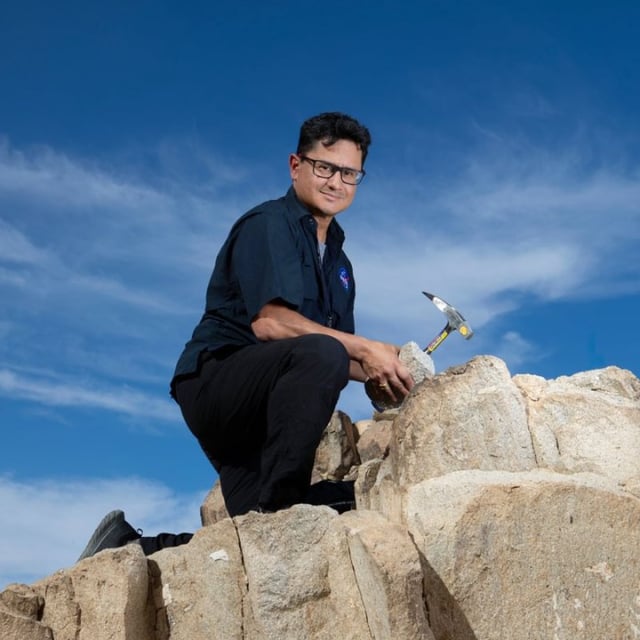
- Jose Hurtado joins the Lunar Mapping Program to produce modern geologic maps of the lunar south pole.
- The NASA- and USGS-supported project is slated to finish later in 2025 to inform Artemis operations.
- NASA targets a 2027 landing of two astronauts at the south pole following the Artemis II flyaround in early 2026.
- Hurtado is assisting mission simulations at Johnson Space Center and will provide real-time science support during flights.
- Mapping focuses on terrain, resources and science priorities, including potential water ice, using Lunar Reconnaissance Orbiter data with AI and GIS.