
Overview
- Temperatures run well below normal Wednesday with Sacramento Valley highs in the upper 70s to low 80s as clouds linger under the slow-moving system.
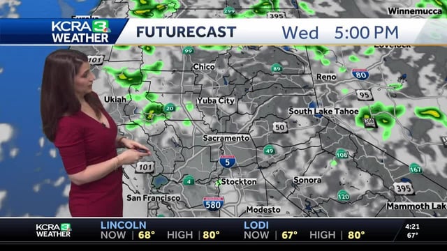
- Showers and isolated thunderstorms concentrate over the Sierra and coastal hills, with risks of brief heavy downpours, small hail, lightning and localized flooding.
- Communities most likely to see pop-up storms include Lake, Mendocino, Trinity and Humboldt counties, the North Bay hills, Truckee, South Lake Tahoe and Yosemite.
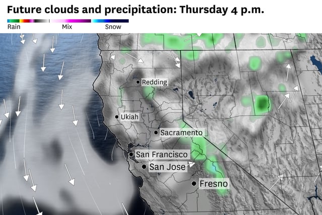
- Thursday remains active over the Sierra—designated an impact day by KCRA—with chilly conditions, lightning and small hail or sleet possible on higher peaks, while the Valley and Foothills stay largely dry.
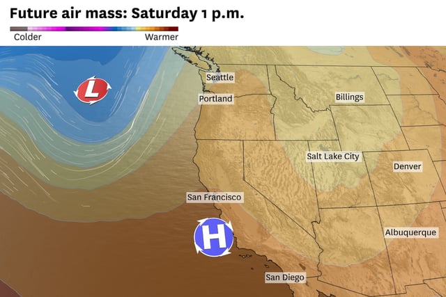
- A warmer, drier pattern returns Friday and Saturday with valley highs in the upper 80s, before a separate system brings breezes and a chance of Sierra showers Sunday; smoke from the Garnett Fire has prompted a dense smoke advisory in Mono County with improvement expected later.