
Overview
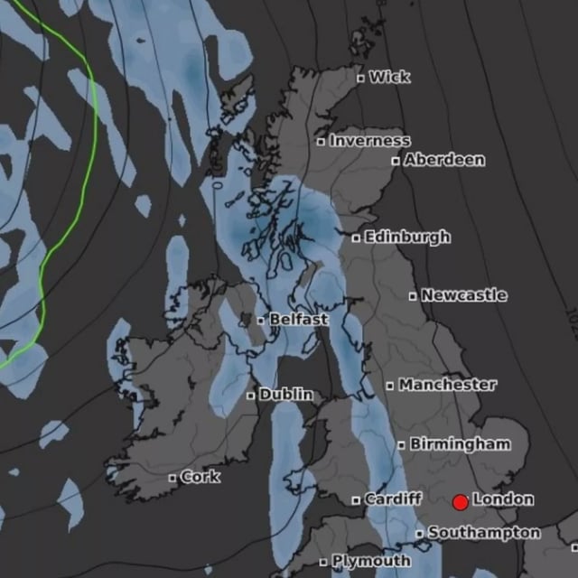
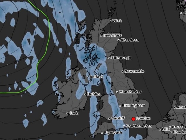
- WX Charts projections, echoed by Ventusky outputs, show snow moving south from Scotland to reach England on Friday, October 24.
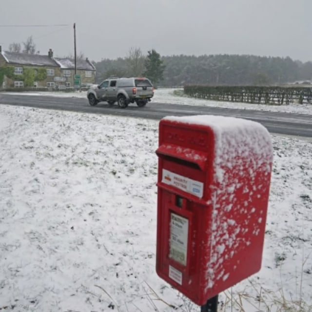
- The latest risk list names 11 English counties: Greater Manchester, Lancashire, Yorkshire, Staffordshire, Cheshire, Cumbria, Northumberland, Durham, Derbyshire, Shropshire and parts of the West Midlands.
- Some model runs indicate local totals near 2cm in places such as Staffordshire, Shropshire and Cheshire, though amounts and coverage remain uncertain.
- Prior model sequences show a broad Atlantic rain band sweeping the UK around Saturday, October 18, followed by colder air with a light Scottish dusting around October 22.
- The Met Office long‑range outlook for October 23 to November 6 points to changeable conditions under low pressure, with showers at times and temperatures near normal, and it cautions that details may shift as the period approaches.