
Overview
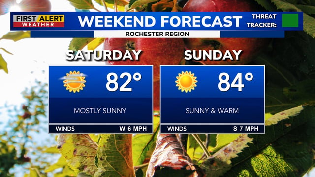
- High pressure is keeping much of the Midwest, Great Lakes and Northeast sunny and unusually warm this weekend, with highs in the 80s and some spots near 90 degrees.
- Gusty southerly winds are common at 20–30 mph with isolated gusts up to 35–40 mph, prompting National Weather Service mentions of elevated fire danger in dry areas.
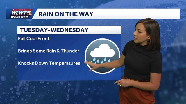
- A cold front is slated to arrive late Monday into Tuesday, with the best chance for showers from Tuesday night into Wednesday and only isolated thunder in some locations.
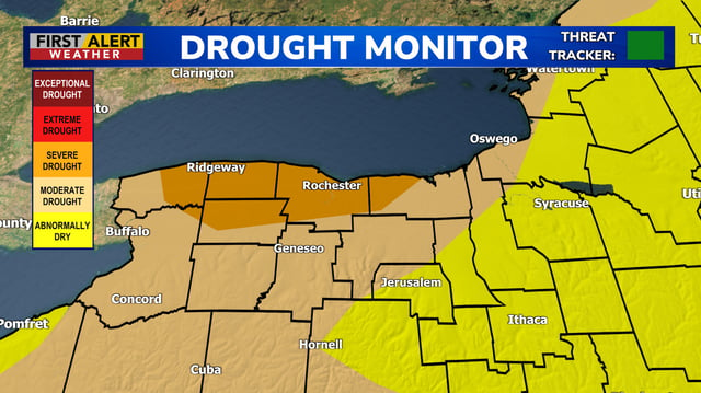
- Rainfall is forecast to be modest and uneven, with many areas seeing only a few tenths of an inch and some staying largely dry, so meaningful drought relief is unlikely.
- Temperatures will tumble behind the front, with highs trending to the 60s in many regions by midweek and some New England spots dipping into the 50s by Thursday.