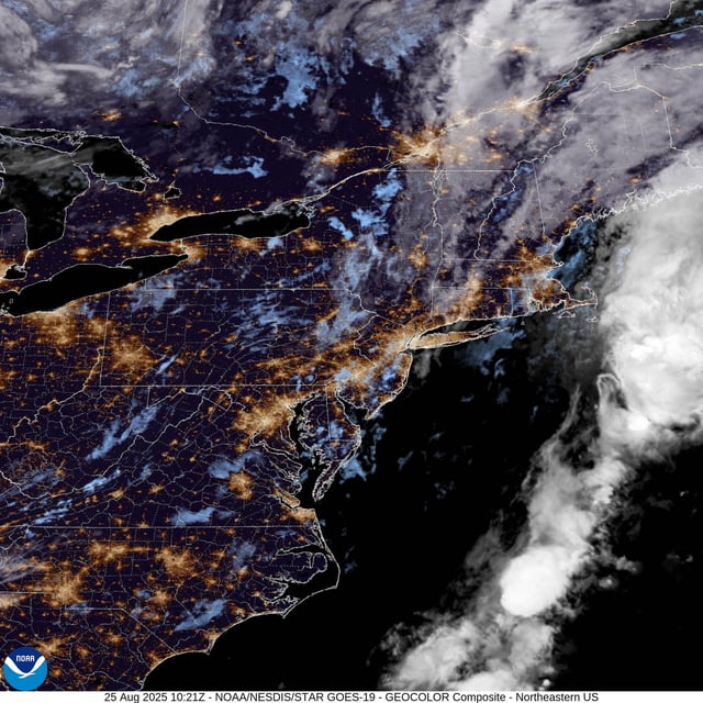
Overview
- Temperatures peaked near 29C on Monday, with Wales and Northern Ireland logging their warmest August bank holiday Mondays on record, according to the Met Office.
- A rain band pushed into Northern Ireland late Monday and spreads east today, with locally heavy bursts and a fresher feel following the hot spell.
- Heavier rain is expected to cross much of the country on Wednesday, with the Met Office flagging a risk of thunder, hail and gusty winds, especially in western areas.
- Forecasters say the remnants of Hurricane Erin are energising the jet stream and promoting low pressure, bringing a more unsettled pattern into the weekend.
- No UK weather warnings were in place as of the latest updates, but coastal forecasters highlighted large waves on western beaches and rougher seas.


