Overview
- Provisional Met Office data puts the summer mean at 16.13C to 25 August, above the 2018 record of 15.76C, with confirmation expected next week.
- Four heatwaves and prolonged dryness prompted heat‑health alerts, drought declarations and hosepipe bans affecting millions.
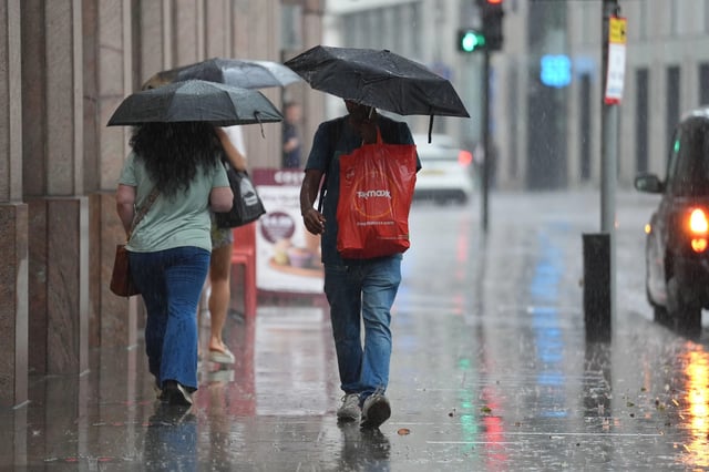
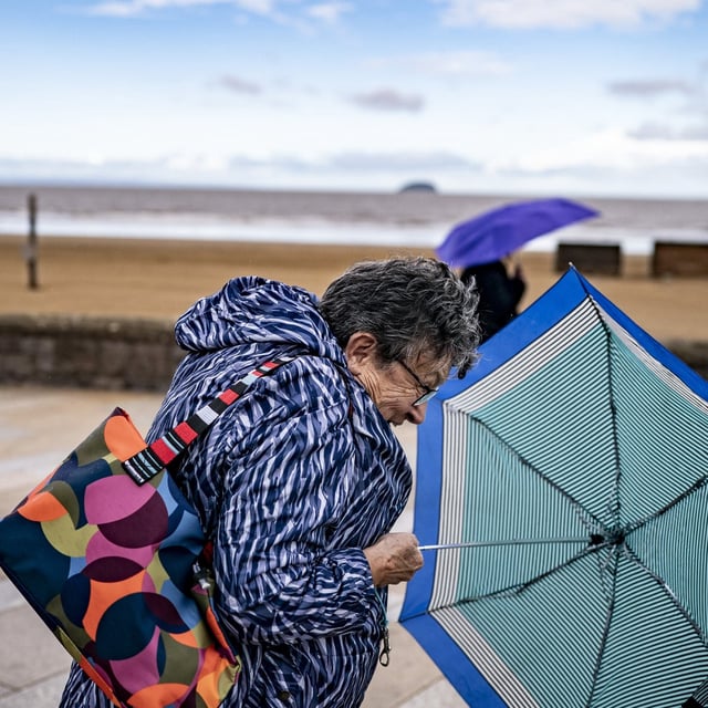
- The Met Office forecasts a changeable spell from late August into early September with heavy rain, thunderstorms, hail and possible strong winds, most frequent in the west.
- Forecasters say the remnants of Hurricane Erin will help drive bands of rain and breezy conditions across western areas this week.
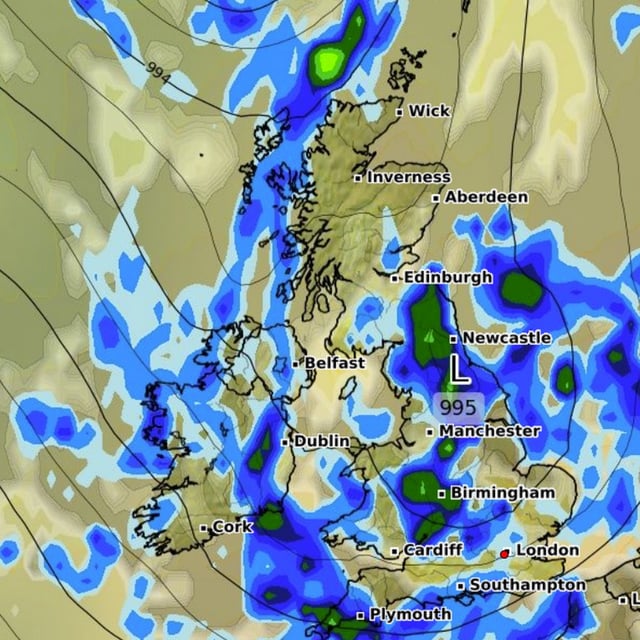
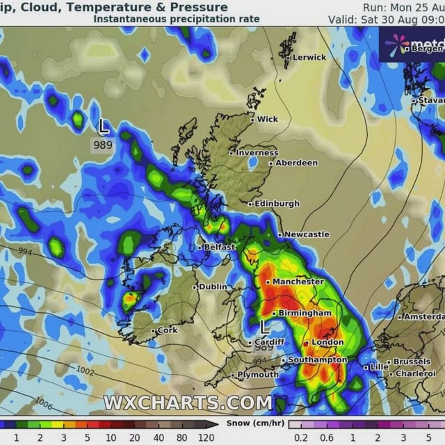
- Model charts reported by media point to widespread rainbands around 30 August and 3 September, and separate private maps suggest a lower‑confidence brief warm pulse around 8 September.