Overview
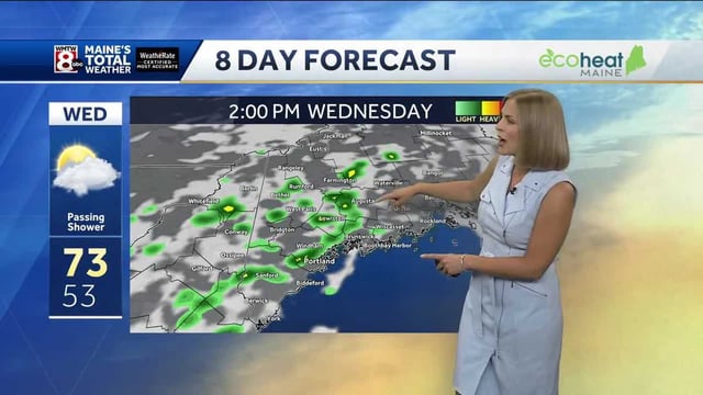
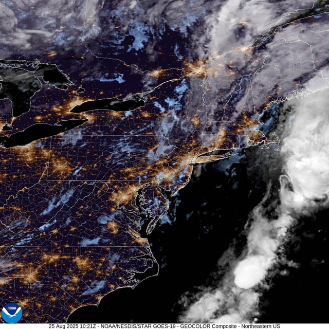
- A west-to-east band of rain is moving in from Tuesday night into Wednesday, with heavier bursts, thunder, hail and gusty winds possible, according to the Met Office.
- Temperatures are set to drop sharply by up to around 10C after Monday’s heat, with highs back to the high teens in the north and low 20s in the south.
- Wales and Northern Ireland recorded their warmest August bank holiday Mondays on record at 29.1C in Hawarden and 24.5C in Magilligan; Scotland reached 27.1C at Charterhall for the equivalent day.
- No widespread severe weather warnings were in place as of Tuesday, though forecasters highlighted large waves on western coasts and urged caution at beaches.
- The long-range outlook signals a low-pressure pattern from August 30 to September 8 with frequent showers or longer spells of rain and a risk of thunder and gusty winds, as provisional data indicate summer 2025 is tracking as the UK’s warmest on record.