Overview
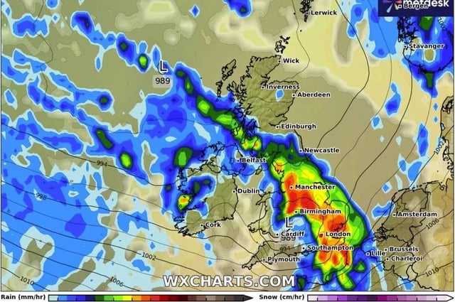
- Met Office guidance points to changeable conditions with showers or longer spells of rain affecting most areas through the start of September.
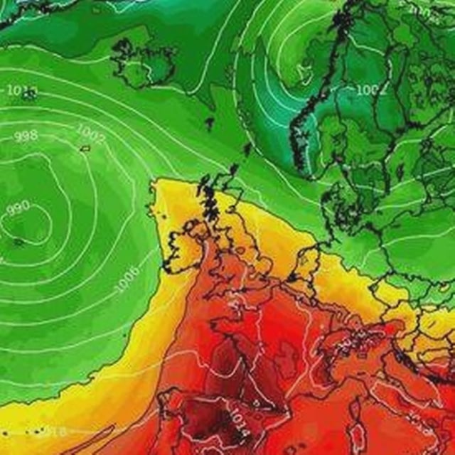
- Thunderstorms, hail and spells of gusty winds are possible at times, especially in western regions, as low pressure systems move across the country.
- Temperatures drop from recent highs to nearer seasonal levels, typically low 20s Celsius in the south and high teens in the north.
- GFS-based model charts suggest two notable rain pulses around August 30 and September 3 with locally heavy downpours, though precise timing and intensity could change.
- The unsettled turn follows what the Met Office says is almost certainly the UK’s warmest summer on record, with a provisional seasonal mean of 16.13C.