


Overview
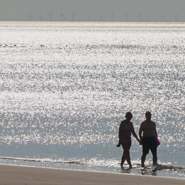
- High pressure is delivering a warm, largely dry day nationwide, with highs in the upper 20s Celsius and a Met Office‑estimated 20% chance of 30C in a few locations.
- A band of rain moves in from the west late Monday, beginning in Northern Ireland and spreading east overnight with a breezy finish for many.
- Tuesday brings sunny spells and scattered showers, heaviest in the northwest with a risk of thunder, as temperatures ease closer to average.
- The Met Office expects ex‑Hurricane Erin to influence the UK from midweek, likely ushering in windier, more unsettled conditions and frequent heavy showers through Wednesday to Friday, with the track still uncertain.
- Beachgoers are urged to take extra care on western coasts today as waves build and to follow lifeguard flag guidance.