


Overview
- Temperatures are forecast to rise to about 26C on Bank Holiday Monday, with many areas seeing sunshine and only isolated light showers.
- High pressure is set to dominate through the long weekend, delivering settled conditions that fall short of the Met Office’s heatwave criteria.
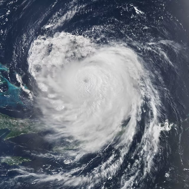
- Forecasters say the extratropical remnants of Hurricane Erin could bring a more changeable spell from midweek, including thundery showers and stronger winds.
- Very large Atlantic swells are possible later next week, with the Met Office warning of waves reaching 4–5m around the Western Isles of Scotland and parts of Ireland.
- Model maps from WX Charts point to a potential 31C spike on 26 August in parts of Devon, Somerset, Gloucestershire, Shropshire and Berkshire, which remains a low-confidence scenario.