Overview
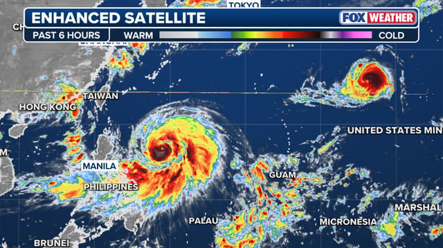
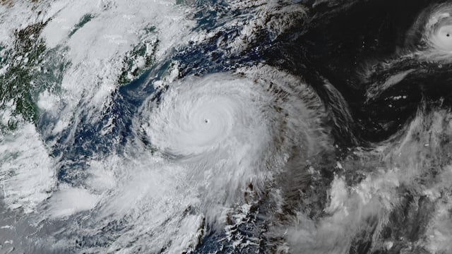
- PAGASA reported sustained winds of 185 km/h and gusts up to 230 km/h as the storm undergoes rapid intensification and nears the super typhoon threshold.
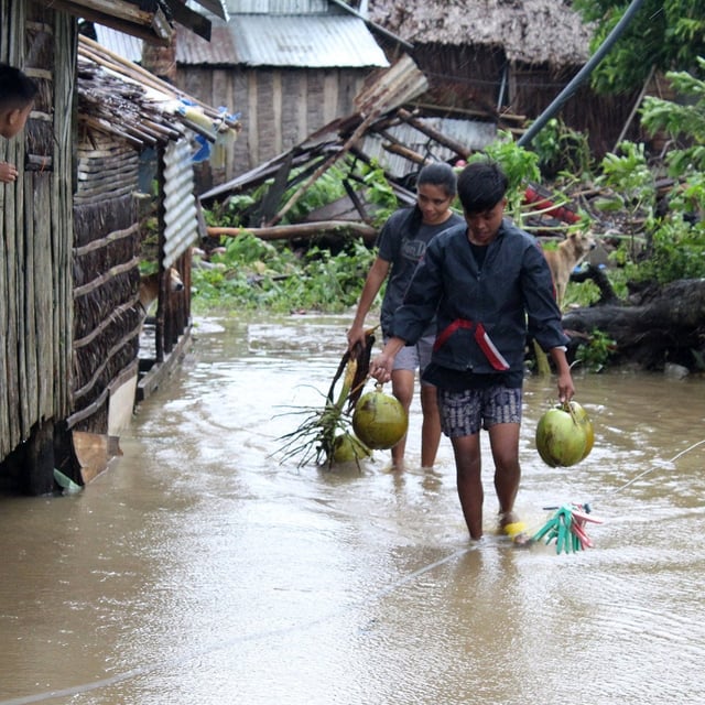
- Authorities in northern and central Luzon and Taiwan’s Hualien County have ordered evacuations, with Philippine officials urging local leaders to move families out of danger zones.
- The core is projected to pass close to or make landfall over the Batanes or Babuyan Islands Monday into Tuesday before moving into the South China Sea.
- Forecasters warn of storm surge exceeding 3 meters along exposed coasts and expect severe flooding and landslides across northern Luzon.
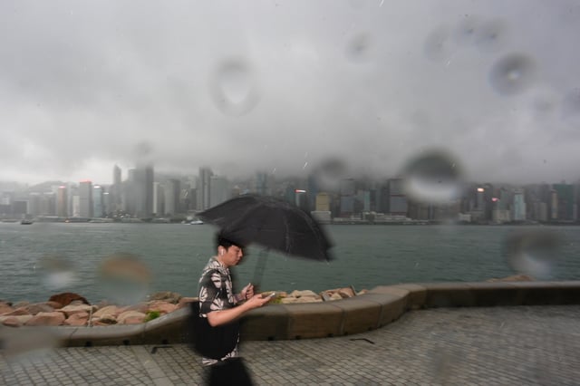
- Regional outlooks indicate deteriorating conditions around Hong Kong by midweek and a potential final landfall west of the city, with heavy rain likely to extend into Vietnam and Laos during a critical rice harvest period.