


Overview
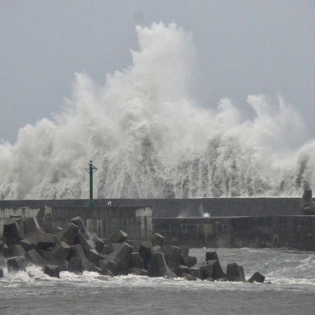
- Podul struck near Taitung around 1 p.m. local time on August 13 with sustained winds of about 155 km/h and gusts up to 191 km/h at landfall.
- Authorities evacuated more than 5,500 residents, suspended work and classes in nine southern and eastern jurisdictions, and issued civil alerts for destructive winds.
- Forecasts warned of up to 600 mm of rain in southern mountainous areas, prompting the evacuation of downstream communities below a monitored landslide dam in Hualien.
- All 252 domestic flights and roughly 150 international services were canceled, ferry routes were halted, and several rail lines suspended as part of widespread transport shutdowns.
- Podul is moving into the Taiwan Strait where it is expected to weaken before approaching Fujian province, prompting heightened alerts in southeastern China