Particle.news

Download on the App Store

Tropical Storms Dexter and Henriette Track Out to Sea, Due to Dissipate Early Next Week

A mid-August drop in wind shear is expected to raise cyclone odds through November

Image
USA6063. MIAMI (FL, EEUU), 02/07/2024.- Fotografía satelital cedida por La Oficina Nacional de Administración Oceánica y Atmosférica (NOAA) a través del Centro Nacional de Huracanes (NHC) estadounidense este martes donde se muestra la localización del huracán Beryl en el Caribe. El huracán Beryl mantiene esta semana en alerta a Jamaica, Haití y República Dominicana tras dejar al menos cuatro muertos y destrucción en el Caribe Oriental, y preocupa a la comunidad científica por la rapidez en su formación y para alcanzar la mayor potencia que puede tener un ciclón, la categoría 5. EFE/ NOAA-NHC /SOLO USO EDITORIAL /NO VENTAS /SOLO DISPONIBLE PARA ILUSTRAR LA NOTICIA QUE ACOMPAÑA /CRÉDITO OBLIGATORIO
La tormenta tropical Dexter se forma en el Atlántico noroccidental, alejándose de Florida pero con potencial de evolucionar hacia un ciclón más potente
Image

Overview

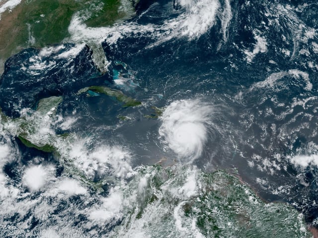
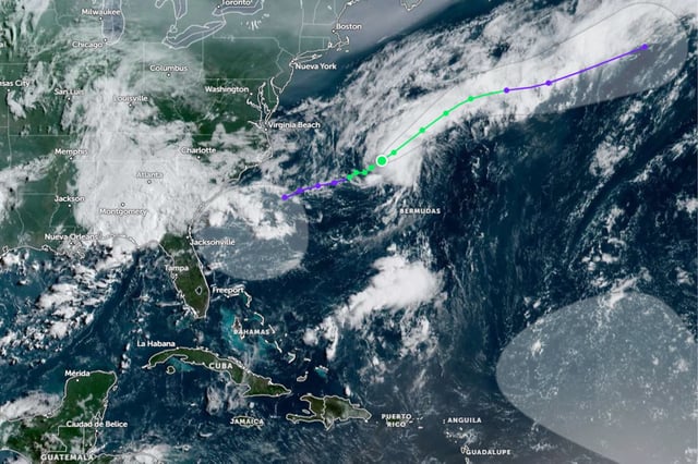
  • Tropical Storm Dexter is moving northeast over the open Atlantic with sustained winds of 74 km/h and gusts up to 93 km/h; it is forecast to transition into a post-tropical cyclone by August 6–7.
  • Tropical Storm Henriette lies about 1,440 km southwest of Cabo San Lucas with 75 km/h winds and 95 km/h gusts; it is projected to weaken without reaching hurricane strength and dissipate by August 9.
  • The National Hurricane Center and Conagua confirm neither storm poses a threat to U.S. or Mexican coastlines.
  • European model ensembles indicate that upper-level wind shear over the tropical Atlantic will weaken around mid-August, creating more favorable conditions for storm development.
  • Neutral ENSO conditions and Madden–Julian Oscillation patterns are supporting forecasts for above-average cyclone activity in both the Atlantic and Pacific basins.