


Overview
- Tropical Storm Wipha exited the Philippine Area of Responsibility on July 19 evening and is moving west-northwest across the South China Sea.
- Philippine forecasters expect the storm to intensify into a Severe Tropical Storm by July 20 before making landfall between western Guangdong and the Pearl River Delta.
- Guangdong Province launched a Level IV emergency response under its flood control headquarters as national meteorologists issued a yellow alert.
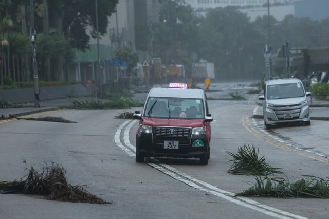
- In Hong Kong, the Observatory raised its T8 signal, leading authorities to cancel over 250 flights, suspend schools and halt bus services through Sunday.
- After passing south of Taiwan with sustained winds near 101 km/h and gusts up to 126 km/h, Wipha triggered cancellations of domestic flights and suspension of 14 ferry routes.