Overview
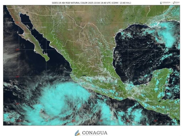
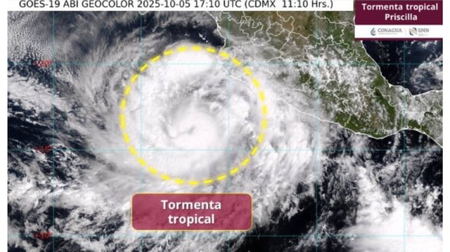
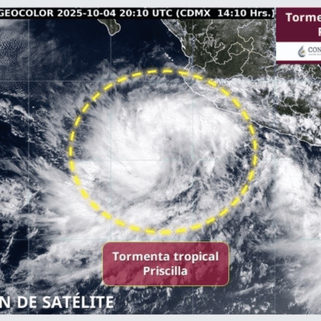
- The storm was centered several hundred kilometers south-southwest of Manzanillo on Saturday with sustained winds near 75 km/h and is moving northwest offshore, according to SMN and the U.S. National Hurricane Center.
- A tropical-storm watch is in effect from Punta San Telmo, Michoacán, to Punta Mita, Nayarit, with authorities cautioning about expanding rainbands affecting coastal regions.
- The SMN projects torrential rain in parts of Michoacán (150–250 mm) and intense rain in Jalisco, Colima and Guerrero, along with 50–60 km/h winds, gusts up to 70–90 km/h and waves of 4–5 meters on Jalisco, Colima and Michoacán coasts.
- Official guidance calls for strengthening to hurricane status within 48–72 hours, potentially reaching Category 2 early in the week before weakening later as it continues parallel to the coast.
- Civil protection agencies urge residents to avoid flooded areas, heed local advisories and prepare emergency kits, with recent flooding already reported in the south including a fatality in Chiapas; meteorologists are also monitoring a possible interaction with nearby Tropical Storm Octave that could alter the forecast.