Overview
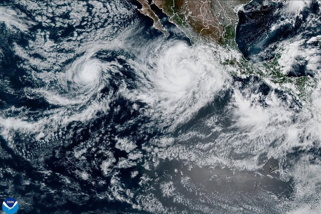
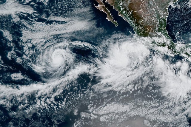
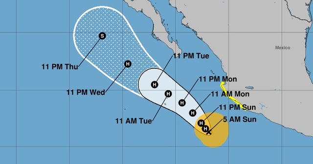
- As of Sunday morning, Priscilla held maximum sustained winds near 65 mph and was located roughly 295 to 305 miles south-southwest of Cabo Corrientes while moving north-northwest at about 5 mph.
- The National Hurricane Center classifies Priscilla as a large system with tropical-storm-force winds extending up to 140 miles from its center.
- Tropical storm watches are in effect from Punta San Telmo to Punta Mita, where tropical storm conditions are possible Sunday into Monday.
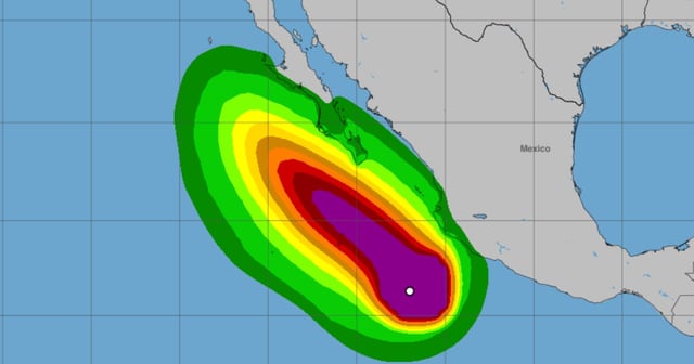
- Forecasts call for 4 to 6 inches of rain with local totals up to 8 inches in coastal Michoacán and far western Guerrero, with 2 to 4 inches in Colima, western Jalisco and the rest of coastal Guerrero, raising flash-flood risk in higher terrain.
- Hazardous swells will bring life-threatening surf and rip currents to southwestern and west-central Mexico and could reach the southern Baja California peninsula by Monday, while a separate storm, Octave, remains well offshore with no coastal alerts.