Overview
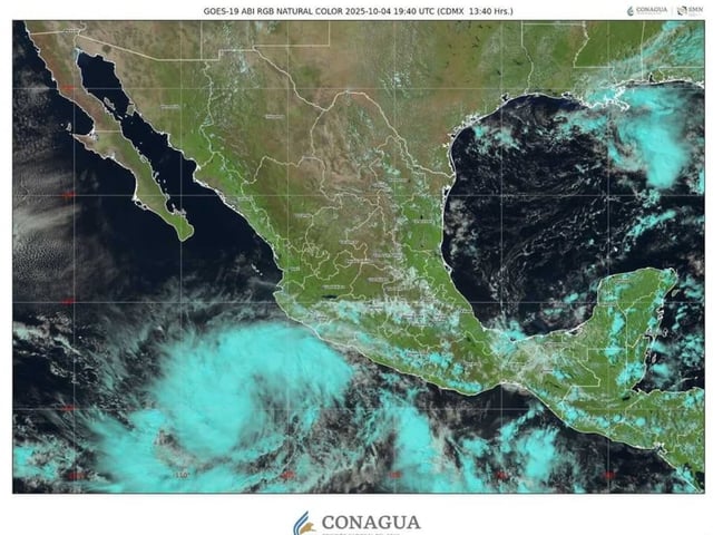
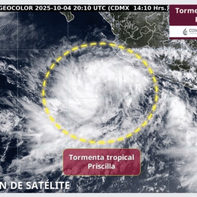
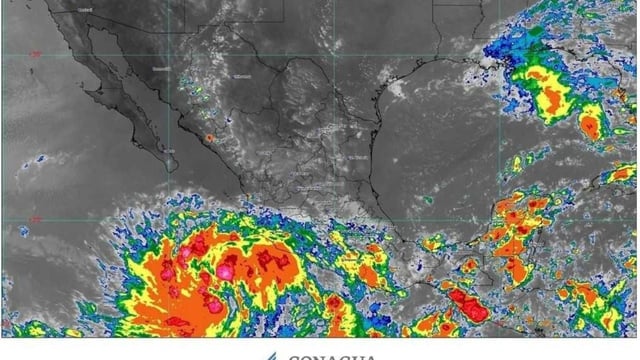
- The storm’s center was about 460–470 km south-southwest of Manzanillo with sustained winds near 75 km/h and gusts to 95 km/h, moving northwest at roughly 9–11 km/h.
- A tropical storm watch is in effect from Punta San Telmo, Michoacán, to Punta Mita, Nayarit, per Mexico’s SMN/CONAGUA and the U.S. National Hurricane Center.
- Heavy rain is forecast with 75–150 mm in Michoacán and Guerrero and 50–75 mm in Jalisco and Colima, alongside coastal winds of 70–80 km/h and waves of 2.5–3.5 meters.
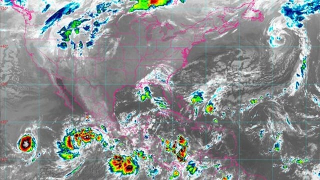
- Official guidance projects strengthening to hurricane intensity within the next 48–72 hours and a northwest path parallel to the coast, with effects potentially extending toward Baja California Sur, Sinaloa and Nayarit.
- Authorities urge residents to avoid flooded areas, prepare emergency kits and follow official updates, noting uncertainty in the storm’s eventual size and track; reports of interaction with Octave remain speculative.