


Overview
- By mid‑morning Monday, Narda was about 260 km south-southwest of Zihuatanejo with sustained winds near 85 km/h, gusts up to 100 km/h, moving west-northwest around 20 km/h.
- Official forecasts from SMN and the U.S. NHC project a hurricane by Tuesday as the center stays offshore on a west‑northwest path.
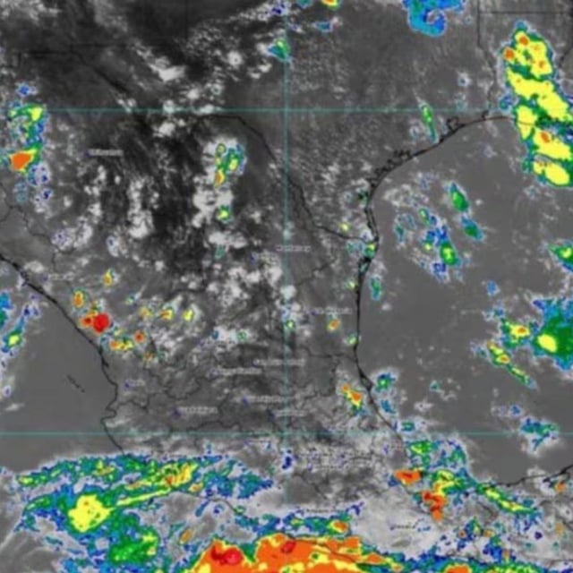
- Rain bands are delivering intense rainfall in Guerrero, Michoacán, Colima and Jalisco with risks of landslides, urban flooding and rising rivers and arroyos.
- Marine hazards include waves of 2.5–3.5 m along Michoacán and Guerrero coasts and 1.5–2.5 m for Colima and Jalisco, with strong coastal gusts.
- State protection agencies have issued precautionary advisories and urged residents to follow civil protection guidance, with no direct landfall indicated in current guidance.