

Overview
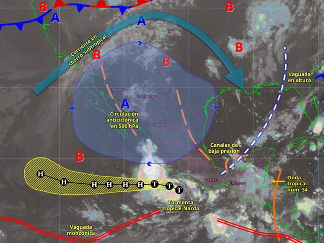
- Narda was located early Monday about 255 km south of Zihuatanejo and 290 km south-southeast of Lázaro Cárdenas, moving roughly 19 km/h parallel to the Guerrero coast.
- Forecasters expect intensification and say the storm could become a hurricane on Tuesday, with guidance keeping the center offshore and no coastal watches in effect so far.
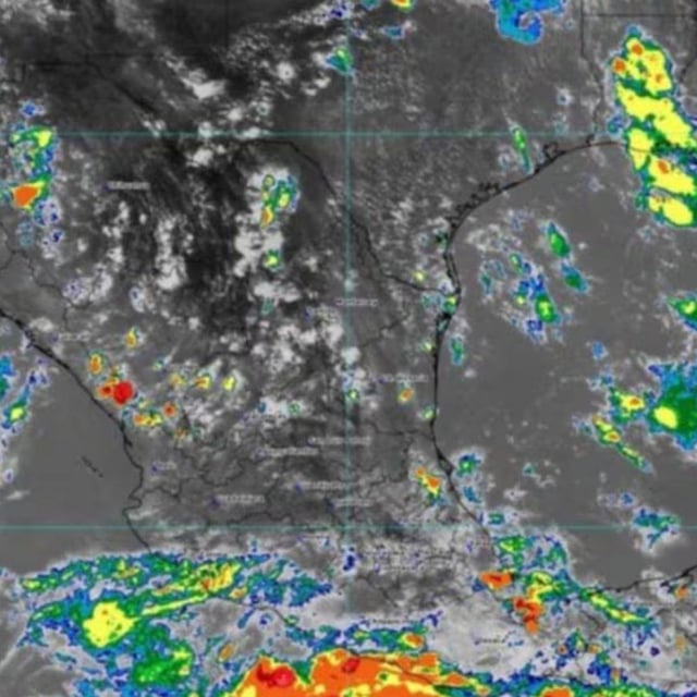
- Heavy to intense rainfall is forecast for Guerrero, Michoacán, Colima and Jalisco, with risks of flash flooding, river rises, urban inundation and landslides.
- Marine conditions are deteriorating with 2–3 meter waves and gusty winds along Oaxaca and Guerrero, and increasing swells and winds projected for Michoacán, Colima and Jalisco.
- Protección Civil urges residents to prepare and stay informed, advising identification of shelters, evacuation routes and precautions for hazardous surf and localized flooding.