

Overview
- As of Monday, the center was about 230 km south of Zihuatanejo and 260 km south-southwest of Lázaro Cárdenas, moving west-northwest near 19–20 km/h.
- Maximum sustained winds are 75–85 km/h with gusts up to 95–100 km/h, and waves are 2.5–3.5 m along Michoacán and Guerrero and 1.5–2.5 m along Colima and Jalisco.
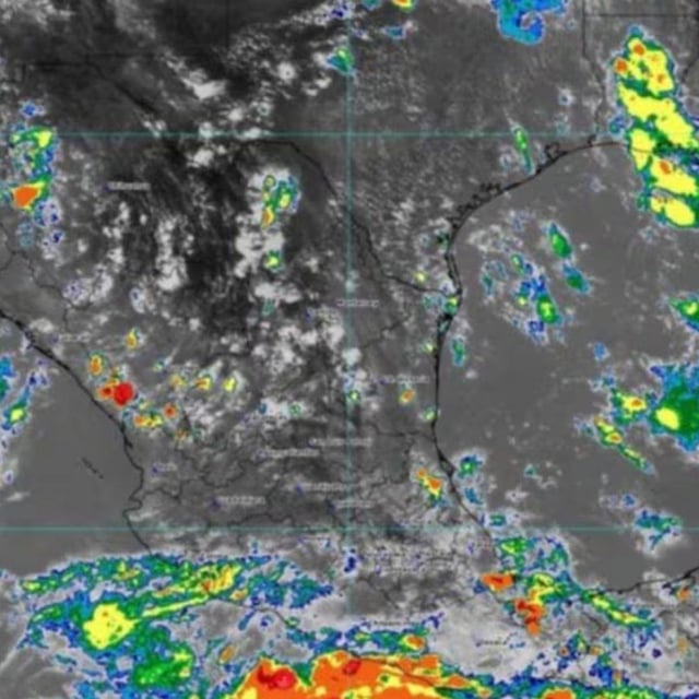
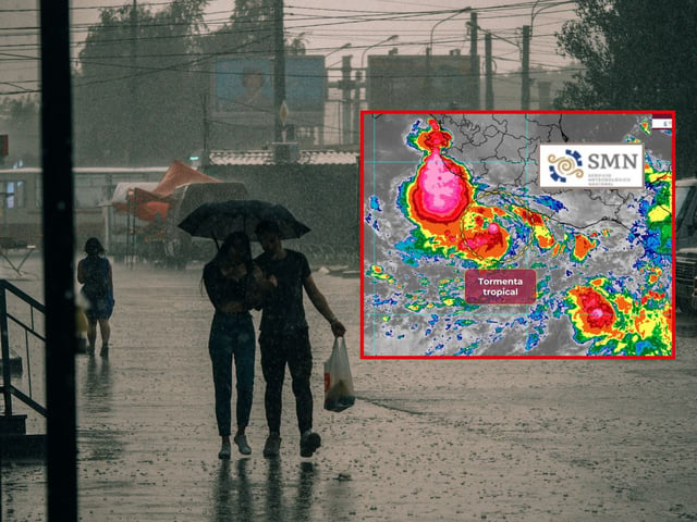
- Rainbands are producing heavy to very heavy rainfall across Guerrero, Michoacán, Colima and Jalisco, with risks of flooding, landslides and rising rivers.
- SMN and the U.S. National Hurricane Center project hurricane intensity on Tuesday and possibly Category 2 midweek while the center remains offshore.
- Authorities report no coastal watches or warnings so far and urge residents to heed civil protection guidance, avoid hazardous surf and prepare for localized impacts.