Overview
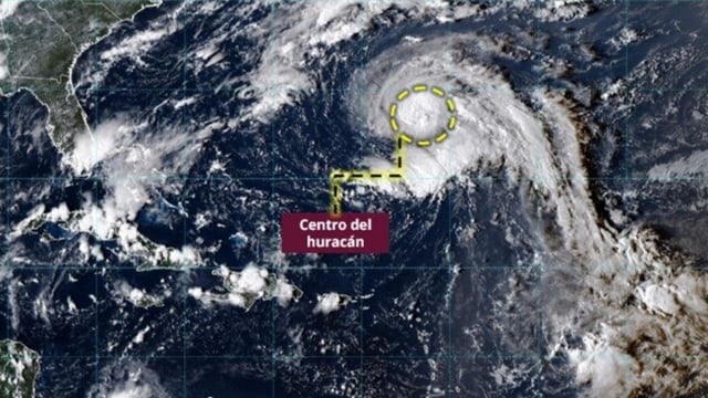
- Narda was located Monday evening about 240 km south of Punta San Telmo, Michoacán, and 315 km south of Manzanillo, with sustained winds near 95 km/h, gusts to 110 km/h, moving west‑northwest around 20 km/h.
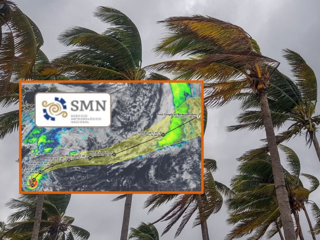
- Official guidance from SMN and the U.S. National Hurricane Center calls for hurricane strength on Tuesday and possible Category 2 intensity on Wednesday as the system tracks parallel to the coast.
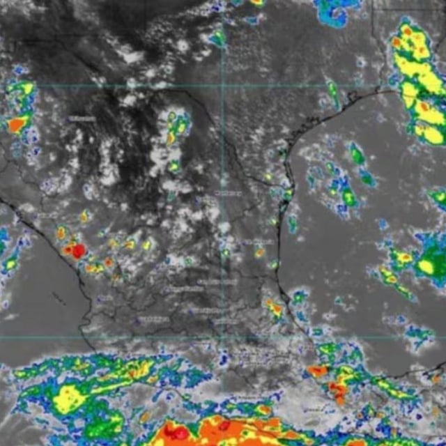
- Outer bands are producing intense rainfall of 75–150 mm in parts of Guerrero, Michoacán, Colima and southwestern Jalisco, raising risks of landslides, river overflows, urban flooding and reduced visibility on roads.
- Coastal conditions include wind gusts up to 70 km/h and surf of 2.5–3.5 meters along sections of Guerrero and Michoacán, extending toward Colima and Jalisco, prompting cautions for mariners and beachgoers.
- Protección Civil, Conagua and the SMN urge residents to follow official updates, avoid flooded or high‑risk areas and prepare for continued rain and hazardous seas as Narda intensifies offshore.