


Overview
- By Monday evening, Narda was about 240 km south of Punta San Telmo, Michoacán, and 315 km south of Manzanillo with sustained winds near 95 km/h, gusts to 110 km/h, moving west‑northwest around 20 km/h.
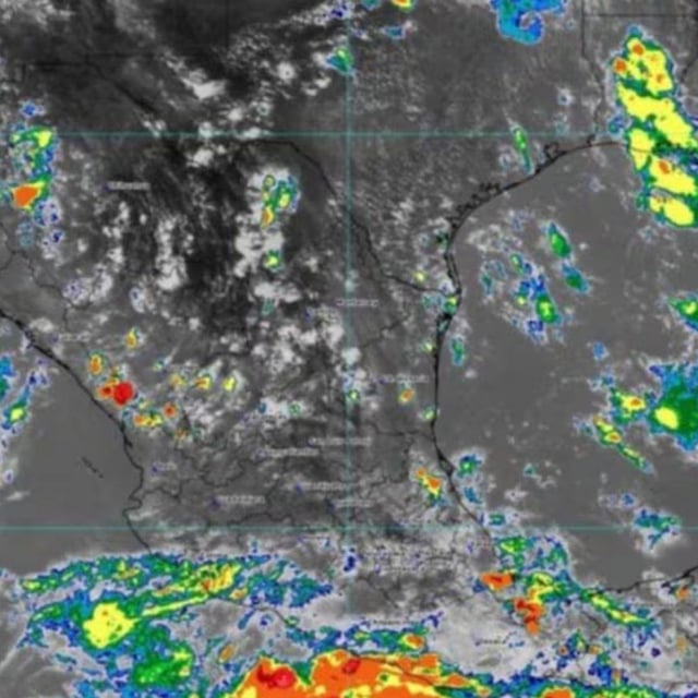
- Outer bands are producing heavy to intense rainfall over Guerrero, Michoacán, Colima and Jalisco, raising risks of landslides, river rises and urban flooding.
- Coastal conditions include wind gusts of 50–70 km/h and seas of 2.5–3.5 meters along parts of Guerrero, Michoacán, Colima and Jalisco, prompting maritime cautions.
- SMN and the NHC forecast Narda will become a hurricane on Tuesday and could reach Category 2 later this week, with guidance keeping its center over open water.
- Civil protection officials in Sinaloa expect showers to expand northward midweek, with heavier rain possible in the south and mountain zones as Narda’s moisture spreads.