

Overview
- Matmo has maximum sustained winds of about 65 kph and is moving west-northwest toward the Philippines’ main island at roughly 22 kph, according to the Hong Kong Observatory.
- PAGASA forecasts a Friday landfall over southern Isabela or northern Aurora and expects the storm to cross northern Luzon before exiting into the South China Sea.
- Forecasters say the system is likely to strengthen over water, bringing winds and showers to Hong Kong this weekend, with a potential strike on Guangdong on Sunday before tracking into Guangxi and weakening near Yunnan next week.
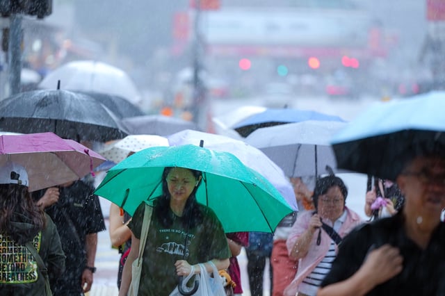
- The Philippine weather agency warns of a moderate risk of life‑threatening storm surge within 36 hours in some low‑lying areas and advises that sea travel is hazardous for all vessels.
- Matmo follows a spate of severe storms in the region, including Super Typhoon Ragasa and Vietnam’s deadly Bualoi flooding, as the Philippines also manages the aftermath of a fatal central‑region earthquake.